In This Article
- Satellite Imagery Shows Extensive Damage at Texas Summer Camp
- Before-and-After Comparison Reveals Devastation
- Flooding Transforms Landscape, Causes Widespread Destruction
- Recovery Efforts Underway Amid Ongoing Challenges
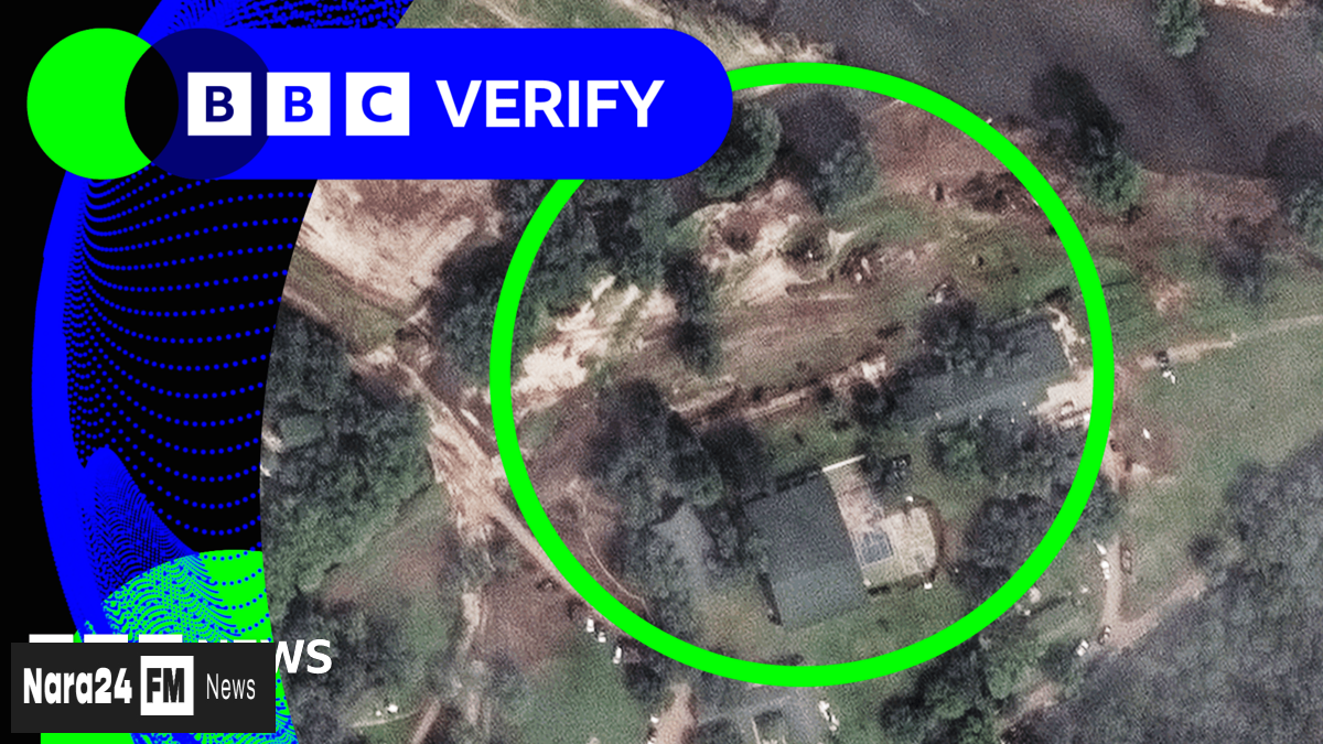
Recent satellite imagery has unveiled the extensive destruction caused by severe flooding at Camp Mystic, a summer camp in south-west Texas. The images, captured by Maxar Technologies, highlight the dramatic changes to the landscape after the Guadalupe River overflowed its banks last week, resulting in the tragic loss of at least 27 lives.
A before-and-after comparison of the site paints a grim picture. The first image, taken on 23 June, shows the camp in its original state, with a large grassy area near the river. However, a subsequent image from 8 July reveals the aftermath of the flooding, with the same space now unrecognizable due to the inundation.
The BBC Verify Live team has been analyzing the latest satellite data to assess the full extent of the damage. The flooding has not only devastated the camp but also transformed the surrounding area, underscoring the severity of the natural disaster.
As recovery efforts continue, these images serve as a stark reminder of the destructive power of extreme weather events. Authorities and relief organizations are working tirelessly to support affected communities and prevent further loss of life in the region.


Comments (0)
Leave a Comment
Be the first to comment on this article!